Tesla Admits Its 'Vision-Only' System Needs Custom Maps to Drive Better
A decade after dismissing maps as unnecessary, the EV giant is now building its own navigation data to fix frequent speed limit and parking errors for drivers.
By Wei Zhang ·
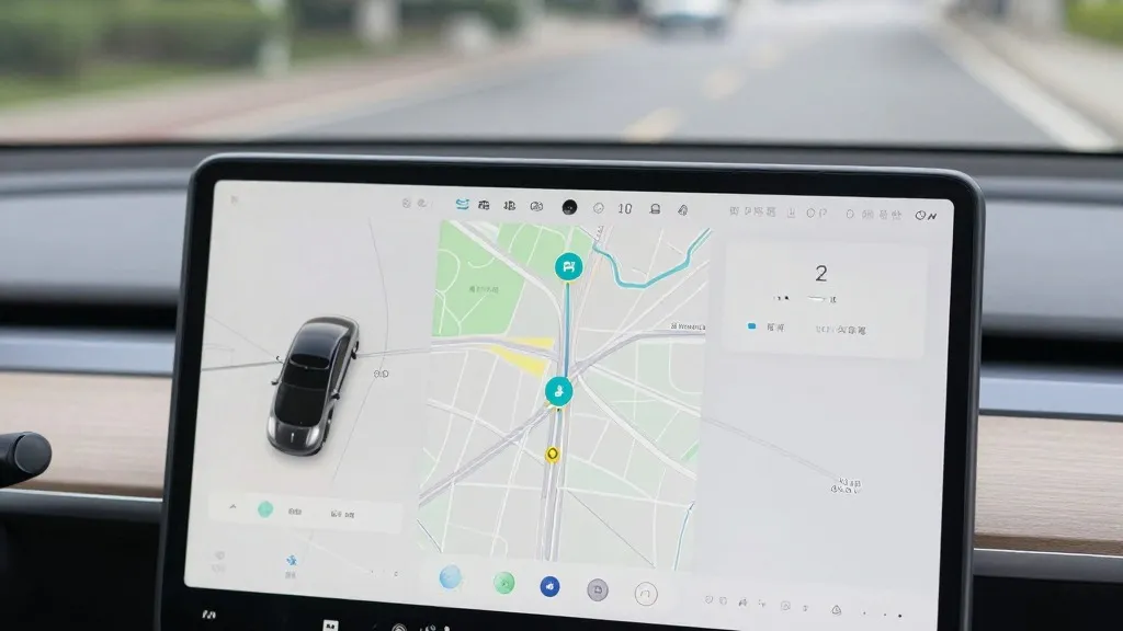
For owners of Tesla vehicles equipped with the "Full Self-Driving" (FSD) system, the driving experience may soon become more reliable in specific areas. The company is developing its own internal mapping technology to address common complaints, including the car’s frequent inability to correctly read speed limits, find parking spots, or select the most logical routes. This development marks a significant shift in how the company approaches autonomous driving, aiming to reduce the number of times a driver must intervene to correct the vehicle’s path or speed.
The initiative was detailed during the company’s Q3 2026 earnings call, where Ashok Elluswamy, the Vice President of AI, outlined the new architecture. He confirmed that the system will initially handle the start and end of trips with the upcoming FSD version 15. Over the following months, this proprietary map layer is expected to take over broader navigation tasks, including destination handling and parking assistance. The system is designed to learn from the collective data of the entire fleet while also adapting to individual driver preferences and voice commands.
This move contradicts a long-standing public stance held by Tesla’s leadership. For years, the company argued that self-driving systems relying on pre-made, high-definition maps were overly rigid or "brittle." In 2019, during an event called Autonomy Day, Elon Musk specifically criticized the use of detailed lane maps, calling it a "really bad idea" that could compromise system flexibility. He also dismissed the use of lidar sensors as a "fool’s errand," positioning Tesla’s camera-only approach as a superior, general-purpose solution that would work anywhere without specialized map data.
However, recent testing and regulatory scrutiny have highlighted the limitations of a purely visual approach. Last month, a Belgian road safety group found that FSD vehicles exceeded speed limits in 55% of tested 30 km/h zones in Brussels, often because the system misread the signage. Meanwhile, in the United States, the National Highway Traffic Safety Administration is weighing an investigation into reports that Tesla Robotaxis are speeding through active school zones. These issues suggest that the vision system alone is not yet reliable enough to interpret simple road information consistently.
By building its own maps, Tesla is adopting a strategy similar to that of its rival, Waymo. Waymo uses sensor-equipped vehicles to map cities before launching services and continues to update those maps as the fleet drives. Tesla’s new approach relies on its massive fleet of customer cars to collect data on the environment, creating a map that helps every vehicle drive more accurately. While the technologies differ, Waymo uses lidar for high-precision data, whereas Tesla relies on its fleet’s collective observations, both companies are now using fleet-generated data to build a navigational backbone for their autonomous systems.
This new map layer is distinct from the high-precision maps Tesla previously rejected. It is not intended to replace the vision system but to supplement it, providing context that the cameras sometimes miss. The system will learn from the millions of cars on the road, creating a more detailed understanding of local driving conditions. This allows the AI to make better decisions about speed and routing, reducing the friction that has frustrated users who relied on the system for everyday commuting.
The timeline for this technology is tied to the release of FSD v15. The system will begin by managing the initial and final phases of a trip, such as leaving a driveway or entering a parking garage. As the software matures, it will expand to handle mid-trip navigation and complex parking scenarios. This phased rollout allows Tesla to test the reliability of the new map layer in controlled situations before applying it to the full scope of highway and city driving.
For consumers, this change suggests that the "hands-free" experience will become more consistent, particularly in urban environments where speed limits change frequently and parking is challenging. While the company has not announced a specific date for full deployment of these features, the integration of a proprietary map layer signals a move toward a more robust, data-driven approach to autonomous driving. This development may also influence the rollout of the company’s Robotaxi service, which currently operates within specific geofenced areas, by providing a more accurate digital representation of those zones.
Ultimately, the creation of an internal map system acknowledges that a one-size-fits-all visual solution requires local context to perform at its best. By leveraging its own fleet to build this context, Tesla is closing the gap between its theoretical approach and the practical reality of driving in diverse environments. This shift may lead to fewer corrections required by drivers and a smoother experience for passengers, as the system becomes better at understanding the specific rules and layout of the roads it travels.
Source: Electrek