Weather Outlook: Warm Front Holds Until Thursday
Meteorologist Sam Lucey forecasts highs near 77 degrees through Veterans Day before a cold front drops temperatures into the 60s by the weekend.
By Ella Cox ·
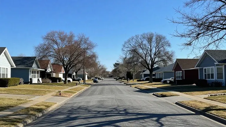
Residents can expect above-average temperatures and dry conditions for the next three days. Afternoon highs will reach 77 degrees on both Tuesday and Wednesday. These conditions allow for outdoor activities without rain interference.
The weather pattern shifted earlier in the week as clouds began to clear. Overnight temperatures settled into the low 50s and upper 40s on Monday night. Tuesday brought sunny skies and slightly warmer air. Tuesday nights remained mild with lows in the mid 50s.
A cold front is scheduled to move through the region late Wednesday and into Thursday. This system marks the end of the current warm spell. Southwest winds will pick up speed on Wednesday afternoon. The meteorologist noted a slight chance of stray showers on Wednesday, though dry conditions are the primary expectation.
Thursday will remain sunny with highs in the mid 70s. Northwest winds will become breezy as the front passes. Cooler and drier air will settle in behind the system. Overnight temperatures will drop to the mid 40s on Thursday night.
Temperatures will continue to decline after the front passes. Friday afternoon highs will reach the upper 60s. Saturday highs will fall to the mid 60s. Overnight lows on Friday night will hit the lower 40s.
The week concludes with cooler air dominating the region. The transition from warm, mild nights to crisp, cold mornings is complete by the weekend. No further rain is indicated in the immediate forecast.