UT San Antonio Team to Deliver 200 Tree Planting Sites for Downtown San Antonio by Nov. 30
Researchers will use LiDAR and sensor data to identify optimal locations for a 1,000-tree initiative, creating a digital dashboard for city planners.
By Ella Cox ·
UT San Antonio researchers have begun mapping at least 200 priority locations for new trees in downtown San Antonio. The team is working to support Centro San Antonio’s Trees Everywhere initiative, which aims to plant 1,000 trees across the urban core over the next decade. The university’s Margie and Bill Klesse College of Engineering and Integrated Design was tasked with identifying sites that offer the highest environmental benefit while remaining feasible for construction.
The research team, led by Farzad Hashemi, PhD, began its work in August. They are scheduled to submit their final recommendations by November 30. The project addresses the urban heat island effect, where built-up areas become significantly warmer than surrounding rural zones. In San Antonio, tall buildings and extensive parking lots in the downtown area absorb and re-emit solar heat, raising local temperatures. The researchers aim to mitigate this by placing trees where they can provide the maximum cooling impact.
To determine the best planting sites, the team is utilizing a combination of geospatial analysis, remote sensing, and microclimate monitoring. Esteban López Ochoa, PhD, associate professor and program lead of the Urban and Regional Planning program, stated that the team is using 360-degree street-level imagery and LiDAR technology. This method uses rapid laser pulses to measure distance and construct three-dimensional models of the environment. The data will help identify existing infrastructure, including fire hydrants, bus stops, and utility poles, to ensure new trees do not conflict with underground or aboveground utilities.
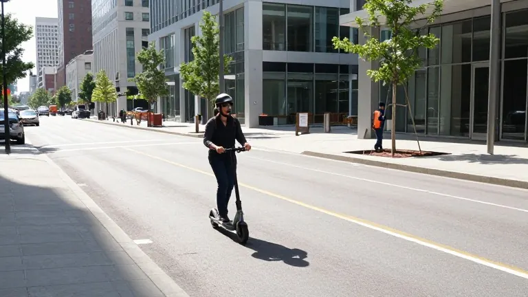
Parisa Najafian, a PhD student, is collecting field data on a sensor-equipped electric scooter. She developed the vehicle at the Climate-Sensitive Design Lab with support from the Scooter Lab at San Pedro I. The e-scooter allows her to access narrow streets and document the locations and species of existing trees. The team will also deploy a network of temperature and relative humidity sensors to establish baseline microclimate conditions for future evaluation.
Fazel Khayatian, PhD, and Patrick Duhirwe, PhD, are developing an interactive dashboard for Centro San Antonio’s Public Improvement District. This tool will allow planners to adjust criteria such as land surface temperature, sidewalk width, and drainage infrastructure. Python scripts will recalculate priority scores based on these variables, exporting a spreadsheet of prioritized locations. Khayatian noted that the system is designed to be updated as conditions change, providing a baseline for decision-making over the next 10 years.
The team is integrating environmental data with existing vegetation and infrastructure information to build a GIS-based spatial model. This model will predict where new trees can provide the greatest cooling benefits while avoiding conflicts with current infrastructure. The project is part of a broader effort by the university to improve the downtown area, alongside the Nueva Nueva initiative, which focuses on redesigning Nueva Street as a pedestrian corridor.
More Business · Consumer Alerts · Report a business · Got a Story?