North Shore Gardeners Face Potential First Frost Saturday as Winds Decide Outcome
Clear skies and cold air create ideal conditions for freezing temperatures on November 14, but wind speeds will determine if dew freezes on surfaces.
By Ibrahim Howard ·
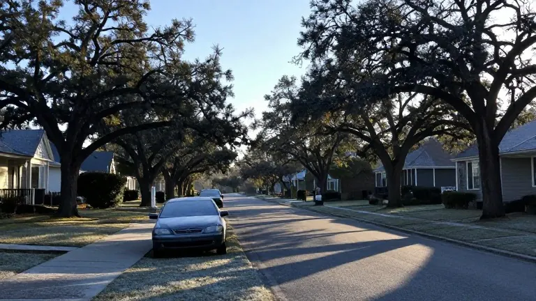
Residents in the New Orleans metropolitan area typically experience their first frost in early to middle December, while those on the north shore and along the lake encounter freezing conditions in late November. This seasonal pattern places the region on the cusp of winter weather impacts as temperatures begin to decline.
A strong cold front is sweeping through Louisiana on Thursday, causing temperatures to plunge starting Friday and continuing to drop through Friday night into early Saturday morning. Forecasters expect mainly clear skies with morning lows in the mid-to-upper 30s Fahrenheit, though some isolated areas may reach the low 30s. These conditions align with the typical timeline for the first frost on the north shore, which historically occurs from early to middle November.
The formation of frost requires a specific combination of atmospheric factors. Air temperatures must hover between 33 and 38 degrees Fahrenheit, skies must be clear to allow heat to escape rapidly into the atmosphere, and winds must be extremely light. The National Weather Service indicates that wind speeds typically need to be less than 8 mph for frost to develop effectively.
Frost occurs when heat released from the earth at night cools the ground enough to freeze dew. Even when the ambient air temperature is 36 degrees Fahrenheit, objects such as cars, houses, or blades of grass can cool to around 32 degrees Fahrenheit. This temperature differential allows moisture to freeze, creating the layer of ice commonly seen on windshields and lawns.
Wind acts as the primary variable for this weekend's forecast. A surface high-pressure system will dictate whether conditions remain calm or windy. If the region is located near the center of this high-pressure system, winds will remain virtually calm, facilitating frost formation. If the area lies farther from the center, winds could reach 10 mph, which is sufficient to deter frost growth despite cold air temperatures.
Saturday, November 14, presents the highest likelihood for the first frost on the north shore. Gardeners and residents in that area should monitor wind conditions closely, as the difference between calm air and a 10 mph breeze will determine whether the cold air translates into a visible frost event.