New Orleans faces first true cold snap of the season starting Friday
Temperatures are forecast to drop into the 30s Saturday morning, with a low probability of freeze in northern river basins.
By Ella Cox ·
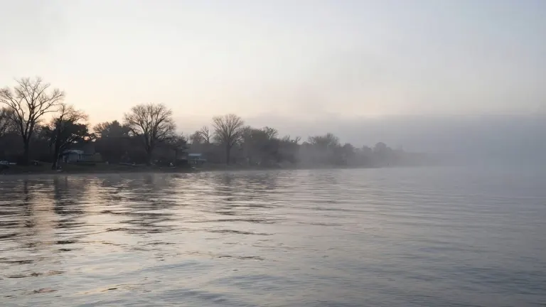
A 20% chance of showers accompanies a weak atmospheric disturbance expected to reach the New Orleans area Wednesday morning, marking the end of a dry week that began on Monday.
A cold front sweeps through the region late Wednesday into Thursday morning, bringing a dry passage for most residents. Meteorologists note that the coldest air lags behind the front by several hours, meaning Thursday's daily high temperature may occur in the morning before falling throughout the afternoon.
Winds are expected to intensify behind the front, creating Small Craft Advisory conditions on coastal waters from Thursday night through Saturday. This setup sets the stage for the first significant cold air mass of the fall season.
High temperatures will plateau in the mid-60s on Friday under breezy north winds. Saturday will remain cool with easing winds, while overnight lows may dip into the 30s across the northern half of the forecast area.
Forecasters have issued a FIRST ALERT for the potential of frost patches, particularly in the Pearl and Pascagoula river basins. Saturday morning carries the better chance for these conditions, though the probability of a full freeze remains low. A long stretch of mild, dry weather is expected to return after Sunday.