Kansas City Weather: Cold Front Brings 30 Degree Swing
Residents should prepare for a sharp temperature drop after a week of 70-degree highs, with the first freeze of the season expected Thursday night.
By Ella Cox ·
A strong cold front is set to cross the Kansas City metropolitan area on Wednesday, marking the end of a week defined by unusually warm temperatures. Meteorologists warn that wind gusts of up to 30 mph will accompany the front, leading to a rapid decline in air quality and temperature within 48 hours.
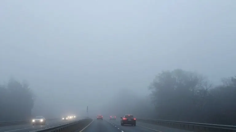
The week began with a stark contrast between morning and afternoon conditions on Monday. Commuters started the day in the upper 30s and low 40s, requiring heavy outerwear, before highs reached 70 degrees in the afternoon. Patchy to dense fog reduced visibility during the early commute, prompting drivers to use low-beam headlights until conditions improved by mid-morning.
Tuesday is expected to mirror Monday's pattern, with mid-40s temperatures in the morning and sunny, mid-60s highs in the afternoon. Another round of morning fog is forecast for Tuesday, requiring caution on the roads. The warmth continues into Wednesday, with highs again in the mid-60s before the cold front arrives.
The temperature crash will be delayed until Thursday. Highs will fall to the 50s on Thursday, dropping further into the 40s for the weekend. This sharp cooldown presents the potential for the season's first freeze, currently predicted to occur from Thursday night into Friday morning.
Drivers are advised to layer clothing and monitor visibility conditions each morning. The shift from spring-like warmth to near-freezing conditions represents a significant change in the local climate pattern for early November.